
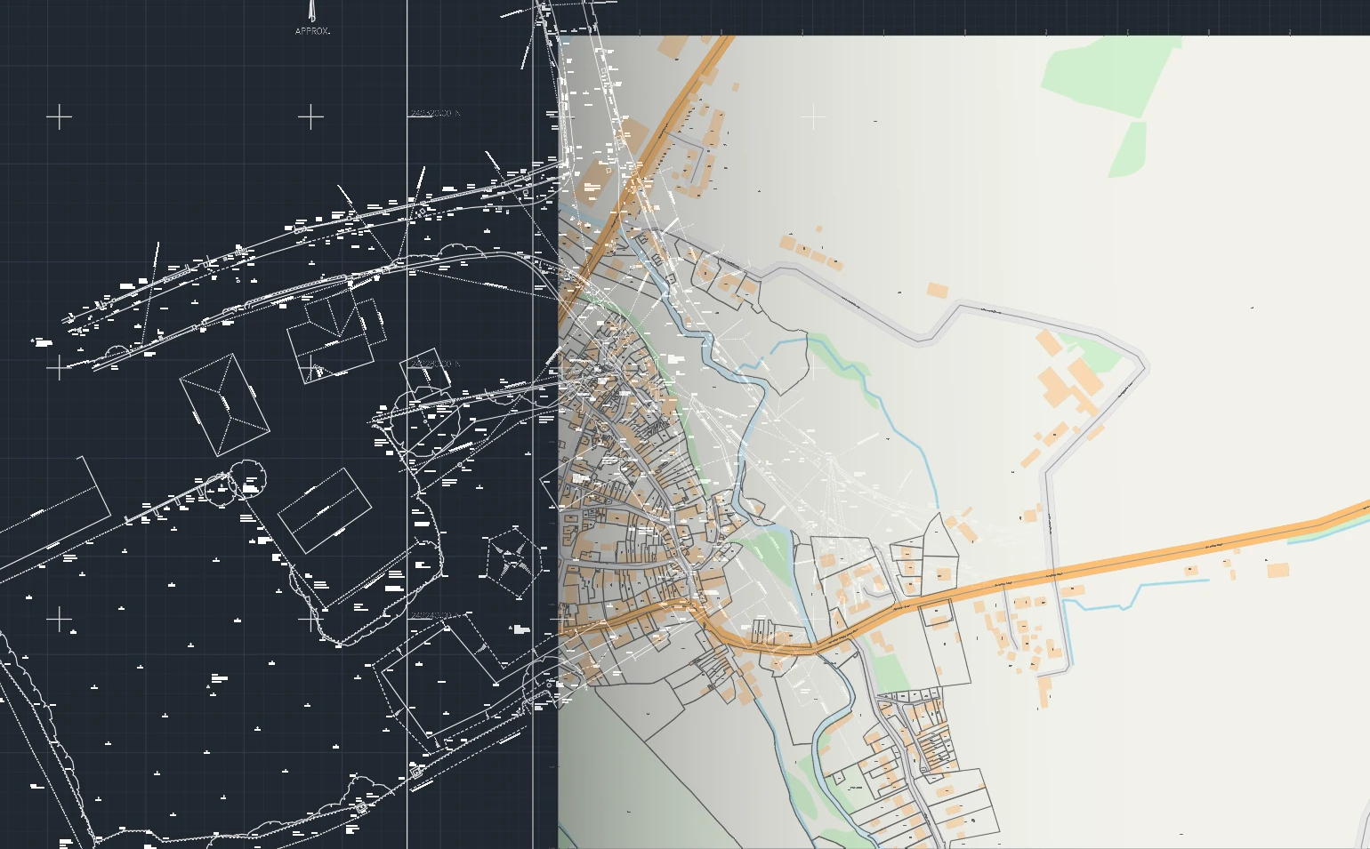
Which CAD map does your project need?
When looking for CAD maps in the UK, you will usually encounter three options: open data basemaps, paid OS MasterMap mapping and bespoke topographical surveys.
Each option serves a different need. Which one is appropriate depends largely on the level of detail you need at that stage of the project.
Early in the project, we won't necessarily need survey-grade precision to tell that the nearest river is 200 metres away from the site. Designing drainage, positioning residential units, designing a road, or setting FFLs needs a different standard of information.
| Mapping option | Accuracy | Best for | Cost |
|---|---|---|---|
| Open data CAD maps | Variable, with metre-scale differences possible | Site screening, context and early sketches | Free / low cost |
| OS MasterMap | ~0.5 m urban / 1.1 m resurveyed rural RMSE | Detailed basemaps and planning context | Paid licence |
| Topographical survey | Centimetre-level detail or tighter where specified | Detailed design, levels and as-built records | Bespoke quote |
1. Free CAD maps: a starting point
OpenStreetMap (OSM) and OS OpenData provide general mapping without the cost of commissioning a survey and without the OS MasterMap licensing. Services such as Obermajer Maps or Cadmapper make these datasets available in CAD.
However, “open data” is a licensing category, not an accuracy standard.
OpenStreetMap accuracy varies with its sources and local contributions. OS OpenMap – Local is generalised: features can be simplified, omitted or enlarged for clear mapping.
There is therefore no universal “accurate to 2 metres” promise. Treat these basemaps as context for early decisions, with metre-scale differences possible.
For identifying surrounding roads, buildings, water features and the wider setting, that can be entirely sufficient.
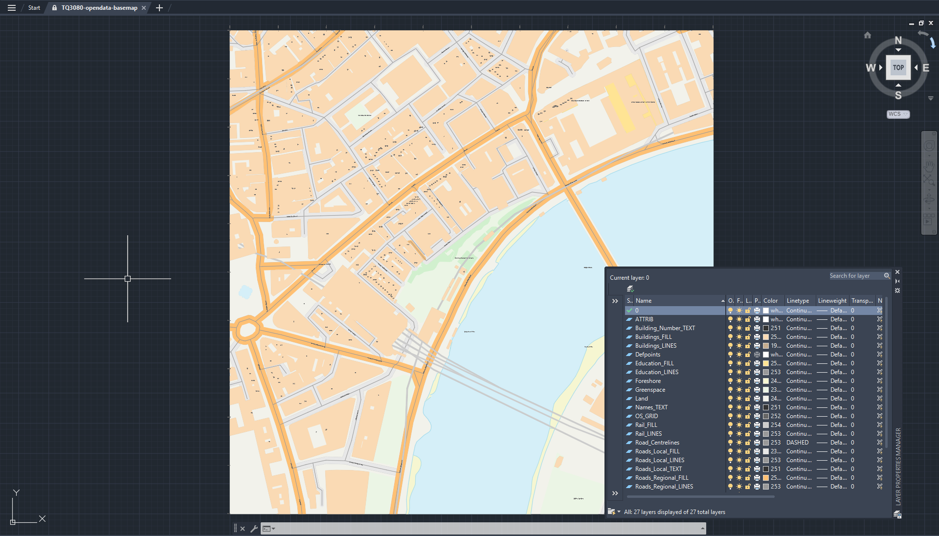
Our OpenData Basemap combines OS OpenData and OpenStreetMap information in British National Grid-aligned DWG tiles. Find your site, download the relevant tiles and open them in AutoCAD.
2. OS MasterMap: more detail for planning
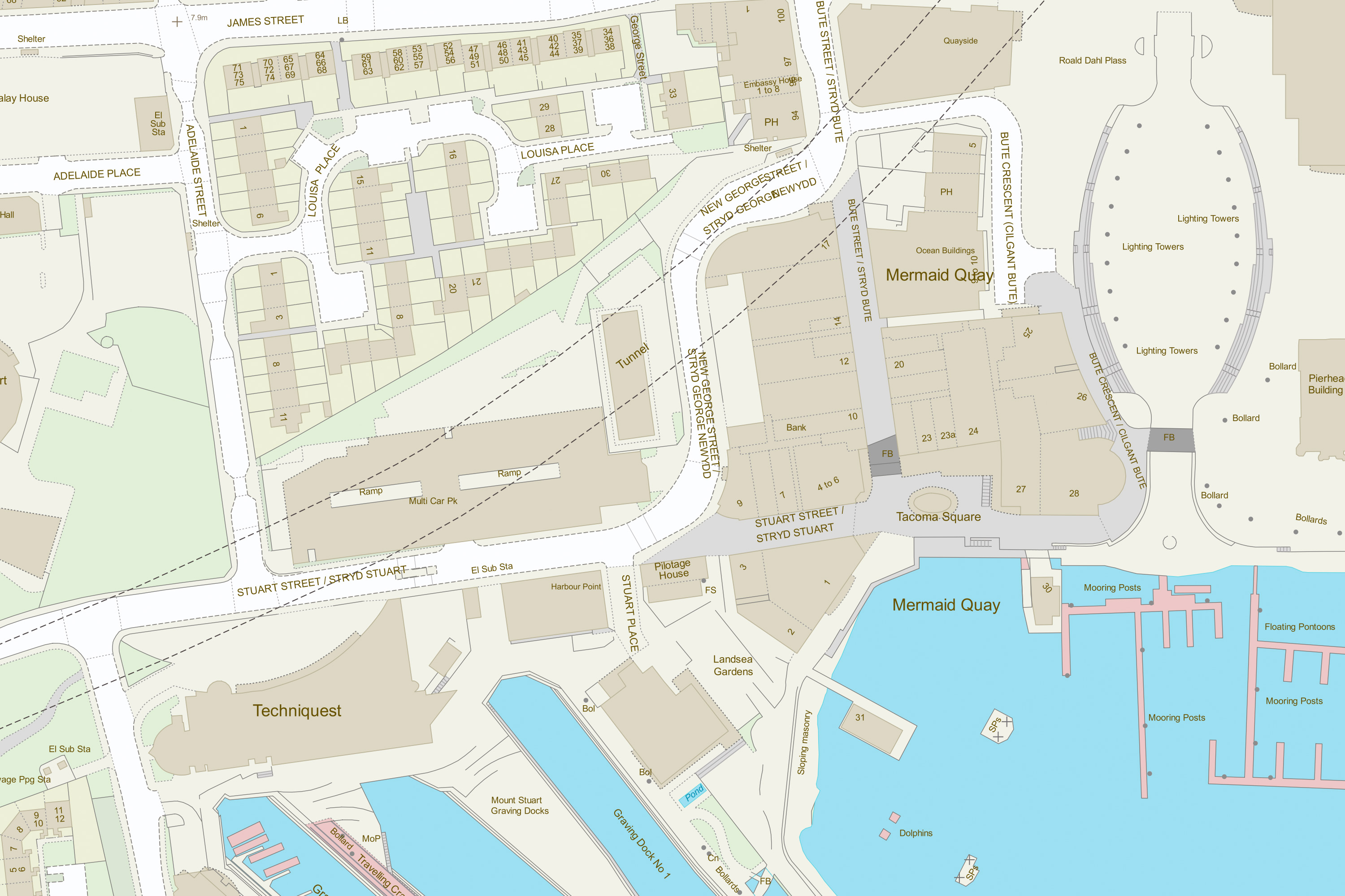
OS MasterMap Topography Layer provides detailed mapping of buildings, roads, land and other physical features across Great Britain.
CAD extracts are commonly purchased through licensed suppliers. Prices depend on the area, product and licence, so check what your purchase covers.
How accurate is it? Published OS accuracy figures reproduced by HM Land Registry give absolute positional accuracy for well-defined points of approximately:
- Urban mapping: 0.5 m RMSE; 0.8 m at 95% confidence.
- Resurveyed or reformed rural mapping: 1.1 m RMSE; 1.9 m at 95% confidence.
- Mountain and moorland mapping: 4.1 m RMSE; 7.1 m at 95% confidence.
Older rural mapping can have wider tolerances. These are statistical measures, not maximum errors guaranteed for every feature.
MasterMap is a useful upgrade for more detailed mapping and planning work. It still does not replace measured site information where dimensions and levels govern the design.
3. Topographical surveys: measured information for your site
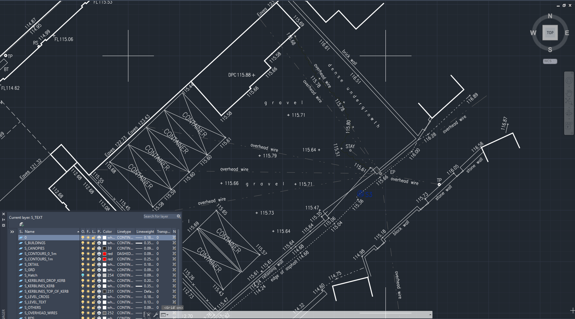
A site-specific topographical survey records the features and levels required for your project, rather than relying on an existing national basemap.
This is the step to take when you need measured building positions, kerbs, ground levels and other detail for design. An as-built survey records completed work.
Accuracy must be specified. The RICS measured survey guidance includes plan accuracy bands of ±10 mm and ±25 mm at one standard deviation, relative to survey control, for relevant survey applications.
The cost reflects site size, access, complexity and specification.
Start with the mapping your project needs today
For early appraisal, free or low-cost CAD mapping can answer useful questions before you commit to more detailed work.
Obermajer Maps brings together DWG basemaps, freehold boundaries, flood mapping, tree information and 1 m contour products, with coverage varying by dataset.
Use these datasets to understand the site and identify what needs investigating next. Upgrade to detailed OS mapping or commission a survey when the project requires it.
Get your project started with free and low-cost CAD maps.
Explore CAD Downloads by Obermajer Maps →
Find useful site information and bring it into your CAD drawing, ready for early project work.