
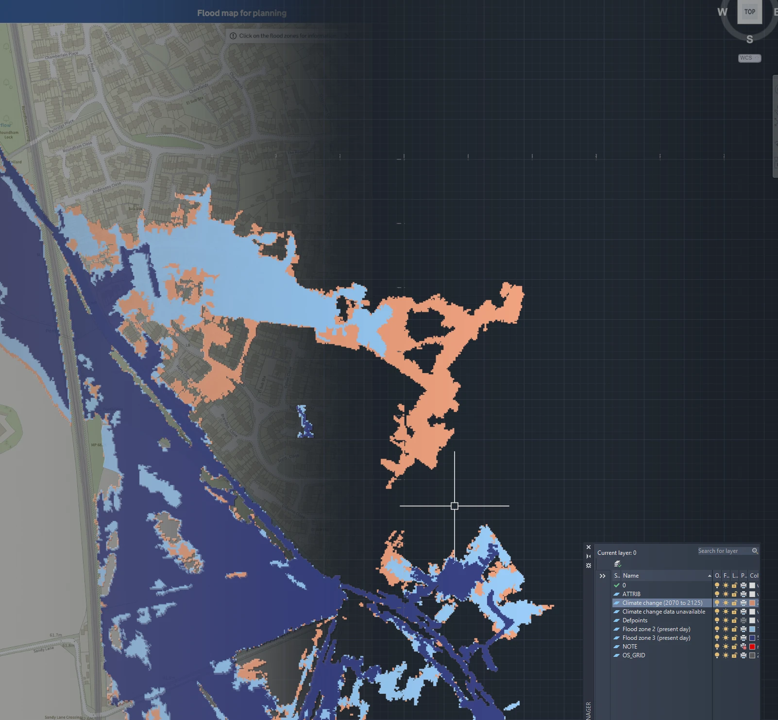
Introducing Flood Map for Planning for AutoCAD
Flood Map for Planning - Flood Zones data is something many of us working in planning, drainage and flood risk use all the time.
The Environment Agency makes the data freely available, and it can be viewed online or downloaded as GIS data. But if you're working on a site in AutoCAD, getting from the EA dataset to something useful in your drawing normally takes a few more steps.
You need to find the data, download it, bring it into GIS software, clip it to the area you need, convert it, check the coordinate system and finally get it into CAD.
For something you might only need to answer a fairly simple question:
Where are Flood Zones 2, 3, and Climate Change in relation to my site?
We built a quicker way of doing it.
Open Flood Map for Planning / CAD Downloads →Flood Map for Planning, straight into CAD
The tool lets you select any location in England and download the EA's Flood Map for Planning data around it as a DWG.
Without PDF overlays in AutoCAD but as CAD geometry.
The resulting file is already positioned on the British National Grid, so it can be dropped into an existing CAD drawing alongside the topo or architect layouts without having to move or scale anything.

What's included?
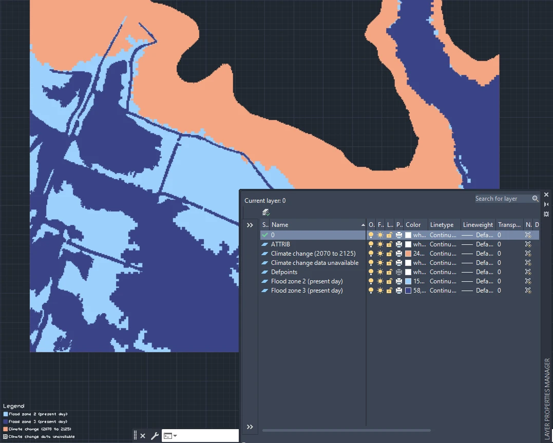
The DWG contains the main Flood Map for Planning datasets used when looking at fluvial and tidal flood risk:
- Flood Zone 2 (Present Day)
- Flood Zone 3 (Present Day)
- Climate Change (2070 to 2125)
The flood extents are converted into CAD geometry and separated onto clearly named layers.
That means they can be switched on and off, incorporated into a drawing in the same way as any other CAD information.
From a location to a DWG
We wanted the process to be about as simple as it could reasonably be.
Find your location on the map and define the area you want to download.
The service queries the Environment Agency data covering that area, processes the relevant flood extents and converts the result into a CAD drawing.
Download the file and open it in AutoCAD.
Why make this?
A lot of publicly available spatial data is useful, but often is not necessarily provided in the format that fits the workflows.
Flood data is a good example - the Flood Map for Planning is provided under the Open Government License as a nationwide GIS dataset, while a large amount of design engineering and architectural work happens in CAD.
We think that installing or opening GIS software just to get a flood extent onto a site plan can feel like a fairly long route to a very small destination.
We wanted to remove that bit in the middle.
The original Environment Agency data remains the source. The tool simply takes the area you request and turns it into something that can be used immediately in CAD.
British National Grid
All downloaded drawings use OSGB1936 / British National Grid coordinates.
If your site drawing is already correctly georeferenced to the OS grid, the flood data should therefore appear in the correct location when inserted.
There's no manual alignment against screenshots and no tracing flood-zone boundaries from a PDF.
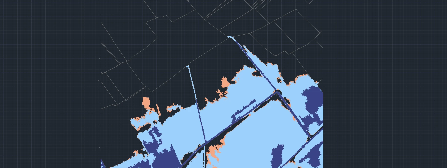
This also means the data can sit alongside other OS-referenced information such as topographical surveys, OS mapping and other spatial datasets.
Try it
Flood Map for Planning for AutoCAD is available for sites across England.
Get Flood Map for Planning data for your site.
Open FMfP CAD Downloads by Obermajer Maps →
Select a location, choose your download area and get the Environment Agency flood extents as a DWG.
The tool is part of Obermajer Maps, where we're working on making useful UK mapping and environmental datasets easier to get into CAD.
Explore Obermajer Maps →