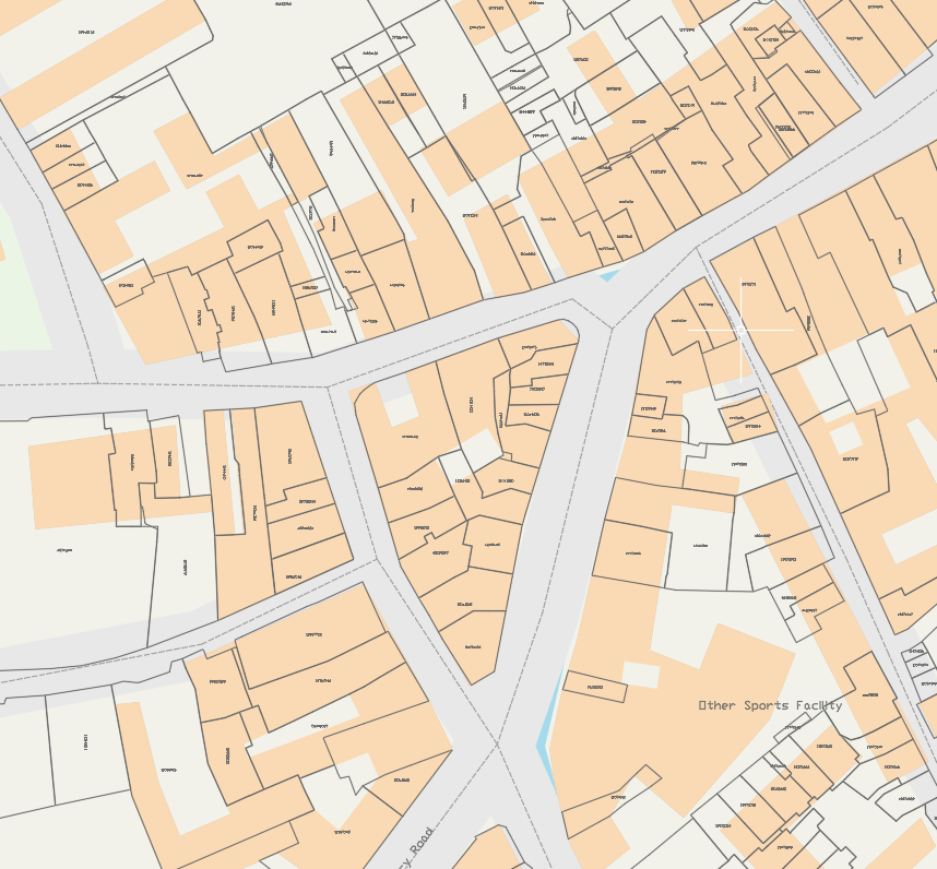
Free CAD Maps in the UK (Quick Guide)
If you need free CAD maps in the UK, the main sources are OpenStreetMap (OSM) and Ordnance Survey OpenData. Both provide free GIS data but not necessarily ready to use CAD basemaps. The real challenge is getting the data into usable DWG without a complex GIS workflow.
Where to Get Free UK Map Data
OpenStreetMap (OSM)
- Global, open-source map data
- Great for roads, buildings, and general context
- Requires processing before use in CAD
Ordnance Survey OpenData
- Official UK mapping data
- Reliable and widely used
- Not CAD-ready out of the box
The Problem
Free map data ≠ usable CAD basemap
Typical workflow:
- Download GIS data
- Open in QGIS
- Style and filter layers
- Set coordinate system
- Export to CAD and clean up later in CAD software
This is slow if you just need a quick basemap.
Do You Need QGIS?
Not always.
If your goal is simple:
- pick a UK location
- get map data
- use it in CAD
…then a dedicated tool is much faster.
Faster Option (No GIS Needed)
Download UK CAD maps instantly
Get UK open map data in DWG: no QGIS, no GIS setup.
Open CAD Map ToolCommon Uses
Free CAD maps are useful for:
- appraisal
- feasibility studies
- concept design
- engineering sketches
Why Use a Tool Instead?
Manual workflows take time. Our tool lets you:
- skip GIS setup
- avoid file conversions
- get a clean CAD basemap instantly
Try It
Get your free UK CAD basemap
Instant downloads. CAD-ready output. No GIS required.
Download CAD Map NowSummary
You can get free CAD maps in the UK, but usually by converting OSM or OS OpenData which takes effort.
If you want to skip the hassle, use a tool that delivers CAD-ready basemaps directly.